 |
|||||
|
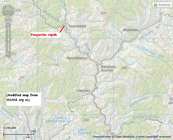
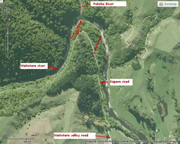
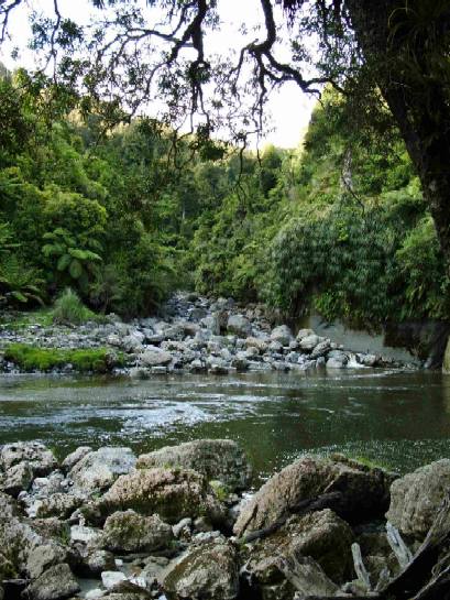
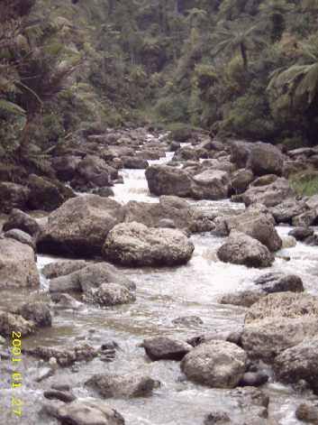
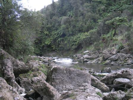
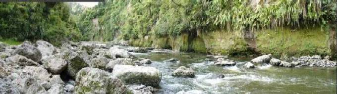
Pungarehu rapids and lower Pokeka |
|||||
|
|||||
|
TRAMPERS
Humphries hut Maungarau Omaru river Otaraheke hut Pokeka Pokeka alternative route Puteore Tahupo Train's hut DAY TRIPPERS Kapara Mangawhio lakes Maumahaki reserve Ngamatapouri Pungarehu rapids Rotokohu wetlands Waitahinga trails Waitotara R.mouth Waverley inland Waverley beaches Weraweraonga
MAPS
|
Pungarehu rapids occur above and below the
confluence of the Pokeka and Waitotara rivers. This is one of two places between Mt
Messenger and Wanganui where this forest actually connects with a
maintained public road (The other is one end of the Matemateaonga walkway at
Kohi Saddle, 1¼ hours inland from Stratford.) At present two tracks leave from this road end, one to Train's hut and on, the other, an unmaintained track, to the Pokeka valley and the sites of the now removed Pokeka and Maungarau huts.
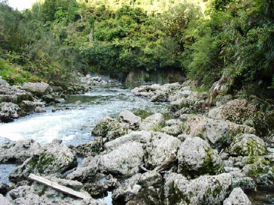
The Pokeka river joins the Waitotara river 3-400 metres
along the Trains' track from the road end, emptying into a scenic area between two sections of
these Pungarehu rapids.
I have seen blue duck in these rapids recently
for a short time, but with the jet boat route just upriver, ducks are
unlikely to stay long.
(Modified maps from WAMS.org.nz)
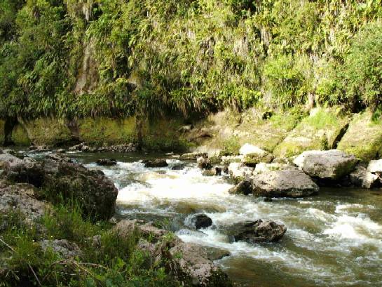
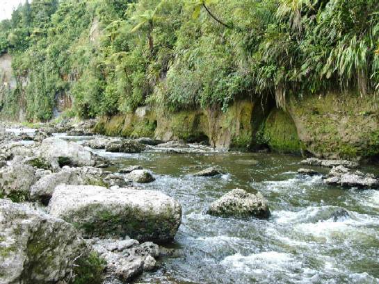
A bridge across the Waitotara river at this point would provide access to the lower Pokeka as a picnic spot, a circular walk to Trains hut and back, a day walk to the Rotokohu wetland and access to Pokeka hut via a track that would not rely on farmer permission for access (as occurs on the paper road at present.) While the walk would start with an uphill grunt to start with once across the river, the views further on are worth the effort. See Pokeka alternative track.
|
||||