 |
||||||
|
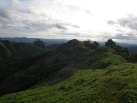
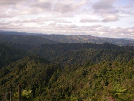
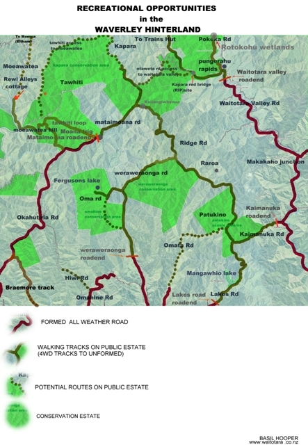
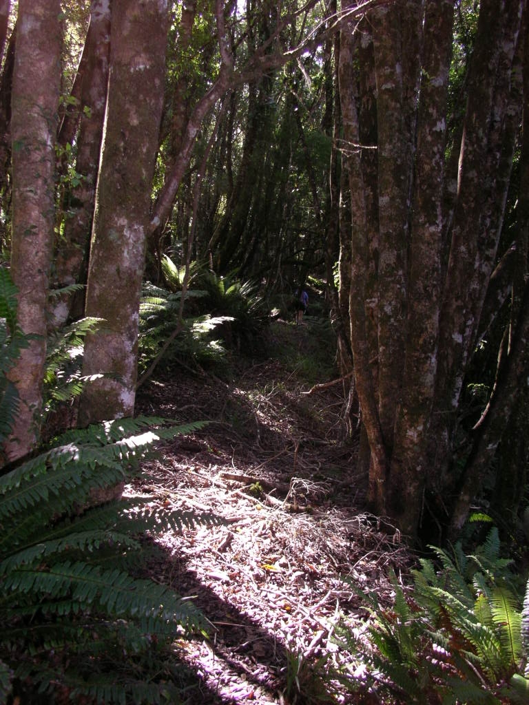
Waverley hinterland |
||||||
|
||||||
|
TRAMPERS
Humphries hut Maungarau Omaru river Otaraheke hut Pokeka Pokeka alternative route Puteore Tahupo Train's hut DAY TRIPPERS Kapara Mangawhio lakes Maumahaki reserve Ngamatapouri Pungarehu rapids Rotokohu wetlands Waitahinga trails Waitotara R.mouth Waverley inland Waverley beaches Weraweraonga
MAPS
|
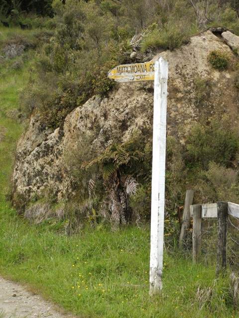
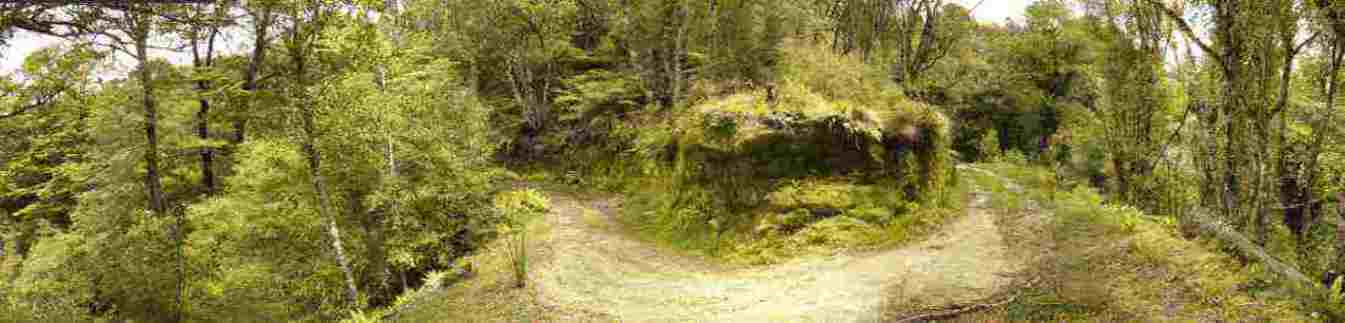
There is a real network of roads, formed and unformed,
marked and not, inland from Waverley that provide some pleasant and
picturesque walking. Combine these public accesses with the Conservation
estate and a number of opportunities present themselves. Use the map to locate the following possibilities. These are all on public estate.
Hopefully the recent Access report suggesting that Government agencies locate, mark and map these public roads will protect them from the damage that some of them are incurring from bulldozers (eg Weraweraonga road was a bridle path until recently. The report might also encourage the reluctant South Taranaki District Council to fulfill their legal obligations to ensure paper roads have no locked gates on them. www.wams.org.nz has excellent maps that show all these public areas.
|
|
||||